
A pathway should solve a movement problem before it becomes a design feature. Outdoor pathway design in Lancaster, PA works best when the route connects useful destinations, the surface suits the way people will use it, and runoff has a clear path away. For a smoother, mostly flat trail, crushed stone is one example of a surface used on universal access trails in the area.
It’s easy to focus on materials first, but a durable, comfortable walkway also depends on where it begins and ends, how it fits the landscape, and how water moves across the site. Ignore those details and the path can create drainage or maintenance problems instead of making the yard easier to use.
This article explains how route planning, materials, runoff, and layout work together in outdoor spaces. These practical considerations show what a professional looks at when designing a path around your home, garden, patio, and everyday routes through the property.
Pathway route and endpoints
Start with destinations, not paving materials. Mark the doors, patio, garden, seating area, and service access the path should connect. Then map a route that makes those places easy to reach without crossing planting beds or creating awkward turns. A direct line may work between a back door and patio; a curve may fit better around a tree or existing landscape feature.
For a Lancaster County home, permit requirements depend on the municipality and the project. Identify grading or drainage changes and any connection to public land so they can be considered in applicable local reviews. Don’t assume one countywide permit rule covers every residential pathway.
Climbers Run Nature Center: connect destinations
Situation: Lancaster Conservancy planned a universal access trail at Climbers Run Nature Center. The site includes the Russo Barn, interpretive gardens, an observation deck, and an outdoor classroom. Action: The route links these destinations rather than ending at a single point of interest. Result: Visitors can move between different features on one connected trail. For a residence, use the same planning logic: identify each endpoint, then choose a route that serves the patio, garden, and frequently used entrances.
Eden Manor: coordinate a route with the site
Situation: The Eden Manor sewer line replacement route passed through Conestoga Pines Park. Action: The paved trail followed the sewer alignment from manhole to manhole, providing access to the infrastructure below. The project also helped establish a natural path for new river trails. Result: One corridor served infrastructure access and helped shape public trail connections. For a residential property, account for existing site features and access needs before settling on the path’s endpoints.
Greater Lancaster Heritage Pathway: understand where a route ends
Situation: The Greater Lancaster Heritage Pathway is 1.2 miles long. Action: Its completed segment runs from just east of Route 30 to the roundabout at Ben Franklin Boulevard. Result: The trail currently ends at the trailhead immediately east of that roundabout. A home pathway also needs a clear destination, not just a pleasant middle section. Map the stopping point, door approach, or seating area so the final stretch connects cleanly with its surroundings.
For a larger connection, the City of Lancaster received a grant to build a boardwalk above the Conestoga River. The proposed boardwalk would guide people across the bridge and up to nearby grassy space that could accommodate a lawn or amphitheater. It shows how a route can connect a crossing to a usable destination.
Before construction, a scaled plan should show the starting point, endpoints, turns, and relationship to existing features. A drawing makes gaps easier to spot, such as a path that misses a patio entrance or crosses an area where runoff needs attention. Clear endpoints help make the finished walkway functional.
At a broader scale, Lancaster Conservancy’s Conoy Wetlands and Shaw Family nature preserves are accessible via the Northwest River Trail and Conewago Recreation Trail, respectively. The Northwest Lancaster Rail Trail is a 26.7-mile out-and-back shared-use path, with 13.4 miles in each direction.
Durable materials and runoff management
Choose a surface according to the route’s use, site conditions, and maintenance needs. Concrete creates a firm, continuous walking surface. Crushed stone offers a different feel and may suit a landscape where a softer appearance matters. The material should also work with entrances, patios, and lawn edges. It won’t solve drainage problems by itself: the base, grading, and water flow matter too.
For accessible trails, Lancaster Conservancy uses smoother surfaces such as crushed stone and keeps routes mostly flat. Situation: Visitors need a predictable surface through natural areas. Action: The trail design uses smoother material and a flatter route. Result: The path supports easier movement while keeping visitors on a designated trail. At home, apply the same principle by matching the walking surface to the people using it and the route’s slope.
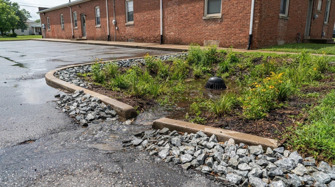
Runoff planning starts by observing where rainwater travels across the property. A pathway can interrupt that flow, direct water toward a foundation, or create low spots where it collects. A scaled plan should show elevation changes and nearby drainage features. The design can then direct water toward an appropriate outlet instead of letting it cross the walking surface or pool beside the path.
At Lancaster Conservancy preserves, engaging, well-marked trails encourage visitors to stay on designated routes and help reduce harmful effects on waterways, rare plants, and sensitive ecosystems. This example links clear routes with site protection. At home, defined edges and clear connections help keep foot traffic on the intended path, away from planting beds and vulnerable lawn areas. Path placement should also account for nearby trees and how runoff moves around them.
- Concrete: Consider it for a consistent, firm route between a door and patio.
- Crushed stone: Consider it where a smoother, natural-looking trail fits the landscape.
- Path edges: Plan transitions where the surface meets lawn, garden beds, or planting areas.
- Water flow: Map low spots and existing drainage paths before setting the final route.
Maintenance and repair risks include settling, cracks, loose aggregate, and pooling water. These issues can make a path uneven or slippery, while runoff may erode nearby soil or wash material off the surface. Check edges, low areas, and changes in the surface regularly to catch problems before they spread.
A reliable plan treats material, grading, and drainage as one system. Discuss a pathway plan that fits your property’s route and water flow.
On-site consultations and scaled drawings
An on-site consultation turns a general idea into a plan suited to the property. The professional observes existing surfaces, grade changes, trees, planting beds, and access points. The owner identifies the destinations and how people will use the route. For example, a path from a side entrance to a seating area has different access considerations from one that serves a garden alone.
A scaled drawing translates those observations into a proportional layout, showing the proposed path alongside the home, patio, lawn, and other fixed features. It can reveal tight turns, awkward transitions, or a route that takes up more usable lawn than intended. The drawing also gives the homeowner and designer a shared reference before construction decisions are finalized.
A site visit should follow a clear sequence. First, the professional records fixed features and the areas the path needs to serve. Next, the route is sketched with its material, edges, and transitions in mind. Then, the drawing is reviewed against how the property functions. A route that looks direct on paper may feel cramped near a doorway or conflict with a tree canopy on site.
- Record existing features: Mark doors, patios, trees, garden beds, and visible grade changes.
- Map intended use: Identify whether the route serves everyday access, garden visits, or movement between outdoor areas.
- Draw the layout proportionally: Show the path’s width and position relative to nearby features.
- Review transitions: Check where the walkway meets entrances, lawn, and other hard surfaces.
Local conservation planning shows why drawings need to connect routes with real site conditions. Lancaster Conservancy’s 2022 Hellam Hills Conservation Area Master Plan includes a proposed universal access trail at Robert A. Kinsley Nature Preserve. The plan frames a route as one part of a broader site layout, not an isolated strip. For a home, the same principle means reviewing a pathway beside the spaces and features it must serve.
At Shenks Ferry Wildflower Preserve, planned improvements would bring part of the Gamber Wildflower Trail up to universal accessibility standards. Situation: The existing trail section needs an accessibility improvement. Action: The planned work focuses on a defined section. Result: That portion is intended to meet the stated standards. A residential drawing can use the same section-by-section approach to identify where a route needs a different surface or layout.
Use the drawing to resolve design choices before work begins. If a proposed curve crowds a garden bed, the plan can show an adjusted alignment. If an entrance transition looks abrupt, the drawing can clarify the connection. Reviewing these details makes the final layout easier to understand and keeps the project focused on how the property will be used.
Outdoor living project examples
Public projects around Lancaster County show how paths can do more than connect two points. They can link destinations, protect sensitive areas, or carry people across difficult terrain. For a residential layout, use each example to consider where a route should lead, how it meets another space, and what the surrounding landscape requires.
Clark Nature Preserve: build around access needs
Situation: Lancaster Conservancy’s third universal access trail was nearing completion at Clark Nature Preserve when the page was published. Action: The project added another accessible route within the preserve network. Result: Lancaster Conservancy’s universal access trails provide access to nature preserves in seven of its 12 Conservation Areas. For a home, this example highlights the value of planning a path around the people who will use it, not only around the property’s appearance.
Conoy Wetlands and Shaw Family preserves: connect routes
Situation: Conoy Wetlands and Shaw Family nature preserves have distinct trail connections. Action: Visitors reach Conoy Wetlands via the Northwest River Trail and Shaw Family via the Conewago Recreation Trail. Result: Each preserve connects to a larger route network. At home, a path can link a patio, garden, and entrance instead of functioning as an isolated walkway.
Waterworks Bridge: account for long-term use
Situation: Lancaster’s Waterworks Bridge was 110 years old when rehabilitation was underway. Action: The rehabilitation took two years and was completed in 2021. Result: The restored bridge remains part of the local built environment. For residential planning, the example reinforces a useful point: a pathway’s location and connections should make sense beyond its initial installation, especially where it meets existing structures or outdoor spaces.
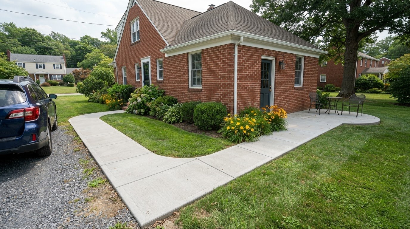
Translate these examples into a home plan by giving each route a clear purpose. A path from a back door to a patio supports everyday movement. A garden route can connect planting areas without directing foot traffic across beds. A walkway between a side entrance and driveway can provide a direct approach. In each case, map the route beside existing features and show where it ends.
- Connect: Link destinations people regularly use, such as a patio and garden.
- Protect: Keep the route defined near planting areas and other sensitive landscape features.
- Continue: Show how the walkway meets doors, patios, or established paths.
These Lancaster examples make outdoor pathway design a sequence of decisions: choose destinations, understand the site, and plan connections that support daily use.
Larger projects show why a route plan should account for what lies beneath and around the walking surface, as well as where people travel. At home, consider existing infrastructure before settling on a path’s alignment, and make its destinations clear. A carefully chosen route can support daily movement while respecting the conditions already present on the property.
Patio, hardscape, and walkway design
ADA accessibility can’t be determined by surface material alone. A designer considers clear width, running and cross slope, surface firmness and stability, and transitions between surfaces, using criteria applicable to the route. Don’t describe a particular width or slope as compliant without checking the applicable standard.
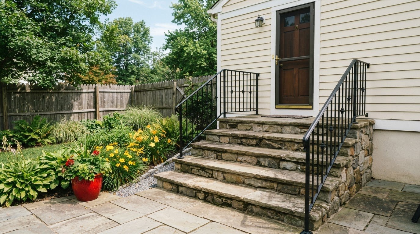
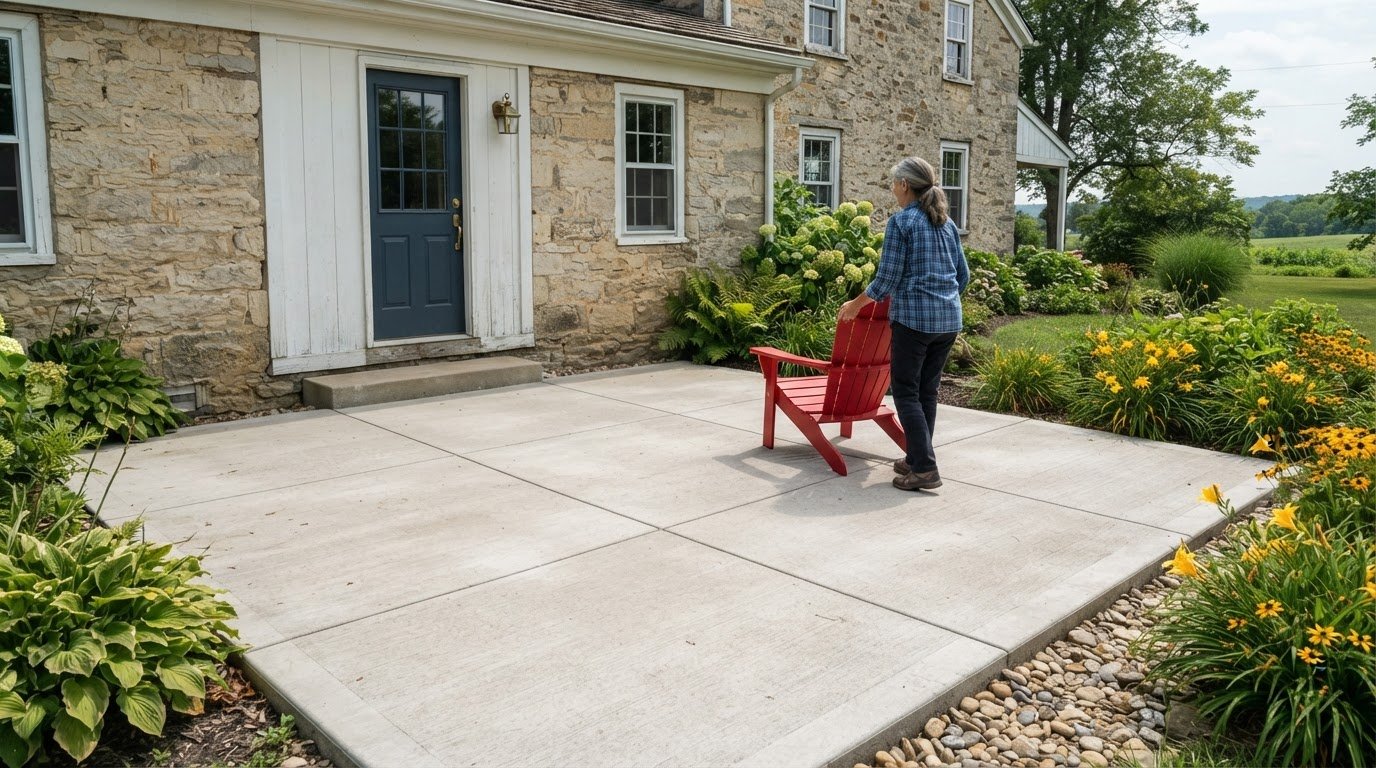
A garden pathway works best when its route and adjoining hardscape are planned together. A walkway from a back door to a patio, for example, should meet the patio without an abrupt level change or awkward turn. Its alignment should also leave usable space for garden beds, lawn, and outdoor seating. A scaled layout makes these relationships visible before construction begins.
Situation: A homeowner wants a garden path connecting a patio with planting beds. Action: The professional identifies those destinations, studies the existing grade and surface transitions, then develops a route and material plan. Result: The walkway supports movement between the outdoor spaces while fitting the surrounding landscape. Follow this sequence: endpoints, alignment, surface, then connection details.
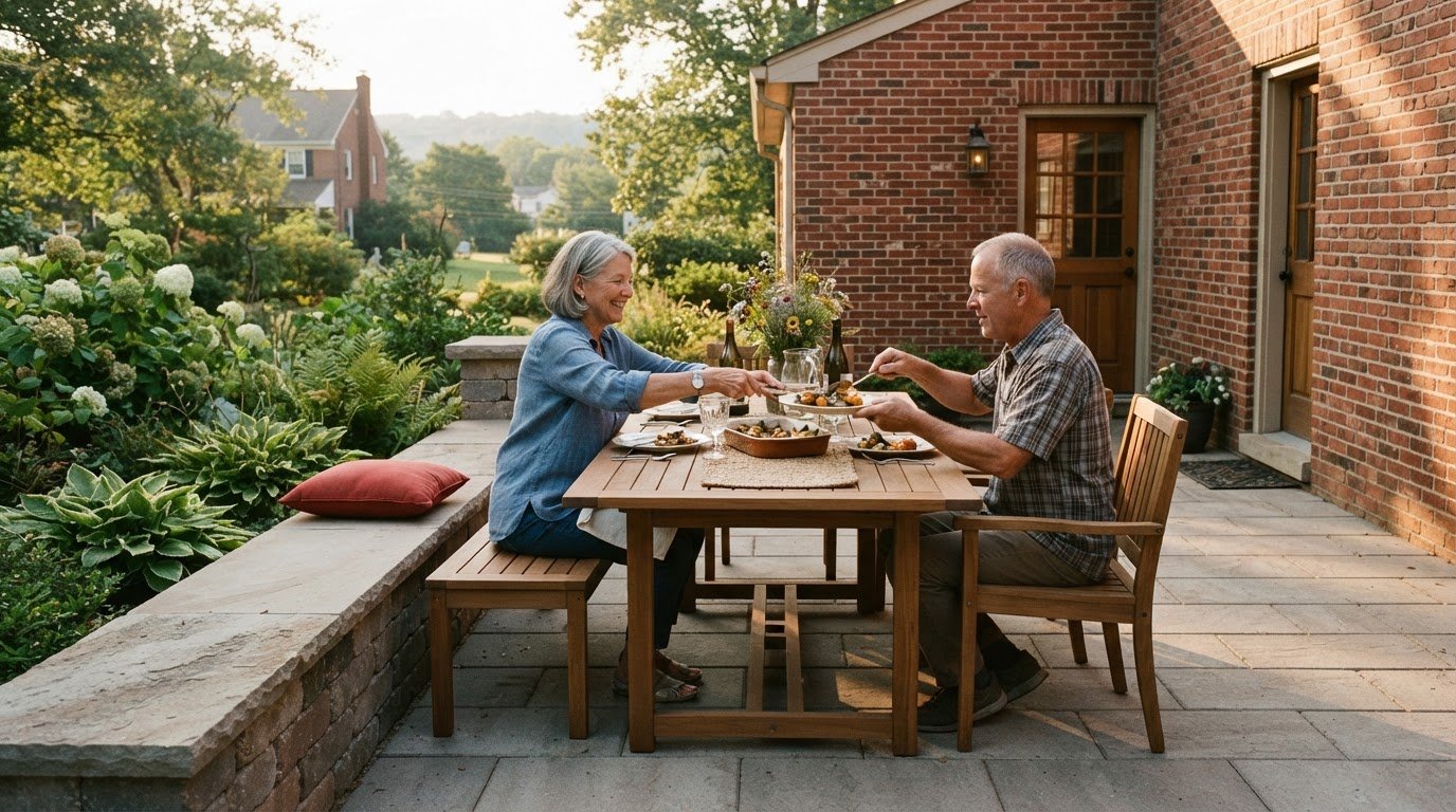
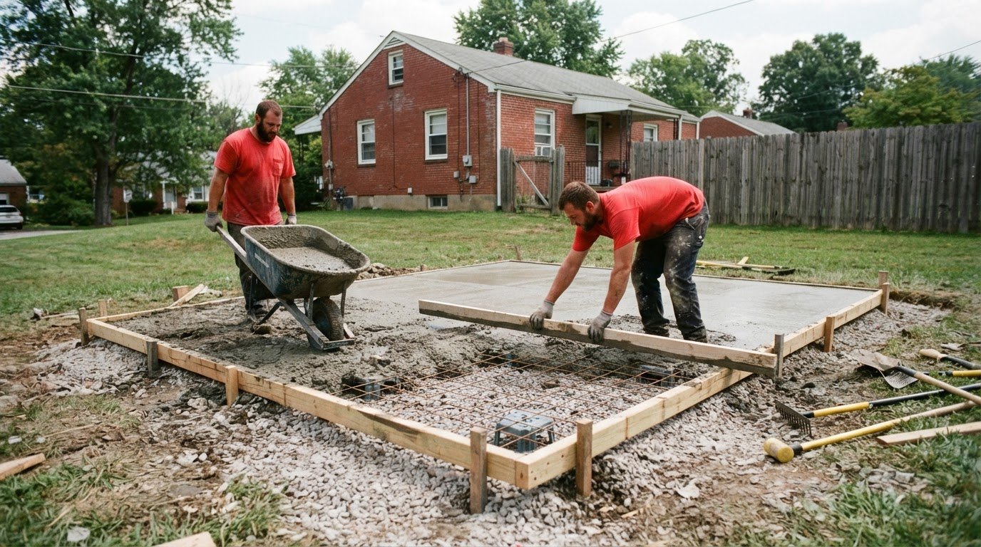
For a residential project, choose a hardscape team that can design and install walkways and coordinate them with a patio. That coordination matters where concrete meets another surface, where a path changes direction, or where water might collect near a transition. Planning the patio and walkway together helps keep these details aligned.
During planning and construction, professionals typically organize the work around these decisions:
- Confirm the use: Identify whether the route serves a patio, garden, entrance, or several destinations.
- Assess the site: Note existing hardscape, grade changes, trees, and planting areas that affect alignment.
- Set the layout: Draw the path in proportion to the home and outdoor spaces, including turns and endpoints.
- Coordinate materials: Select surfaces and transitions that suit the use and connect cleanly with adjacent areas.
- Plan water movement: Review how the walkway affects runoff and where water travels beside the path.
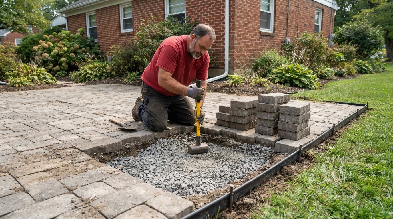
- Build to the plan: Prepare the route, install the chosen surface, and finish its edges and connections.
A concrete walkway may suit a direct connection between an entrance and patio, while a garden route may call for a surface that blends with planting areas. Choose based on intended use, existing site conditions, and how transitions will function. If accessibility is a goal, include it in the layout planning, not after selecting the surface.
Bring the patio and walkway together in one coordinated project. Discuss your patio and walkway plans.
A pathway should have clear width and running and cross slopes that meet the criteria applicable to its route, as well as a firm, stable surface and well-planned transitions. Surface material alone does not determine accessibility.
Snappy Landscaping
Snappy Landscaping helps homeowners turn pathway ideas into practical plans suited to their properties. Consider this next step if you need to connect outdoor spaces, manage runoff, or coordinate a route with a patio or retaining wall. A site-specific plan accounts for how people will use the path and how it meets existing landscaping.
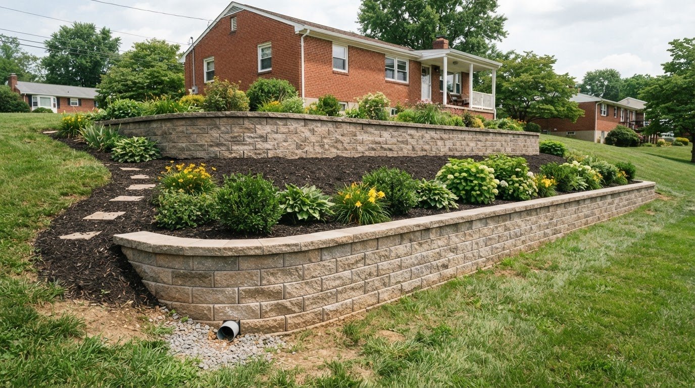
When water affects the route, drainage solutions can address flow as part of the wider landscape plan. Custom patio installation and retaining wall construction can also be coordinated with nearby outdoor spaces, helping the overall layout work as one system.
Share the destinations you want connected and the site concerns that matter, such as pooling water or tight transitions. Contact Snappy Landscaping to discuss your outdoor pathway project.
Plan a path that keeps working
A useful pathway should suit how you live outdoors now and leave room for future changes. For outdoor pathway design in Lancaster, PA, look beyond the first connection: consider whether you might add seating, adjust planting beds, or use another entrance more often. A professional can use these priorities to shape a route that remains practical as the space evolves.
Before moving ahead, identify the change that would make the biggest difference to your property. It might be a clearer connection from the house, easier access across the yard, or a better fit between the walkway and surrounding landscape. That priority gives the design process a clear starting point without adding unnecessary features.
Snappy Landscaping can help turn that priority into a pathway plan suited to your outdoor space. Contact Snappy Landscaping about your project to discuss the next step and move toward a more functional yard.
Frequently Asked Questions
What outdoor pathway materials work best in Lancaster, PA's climate?
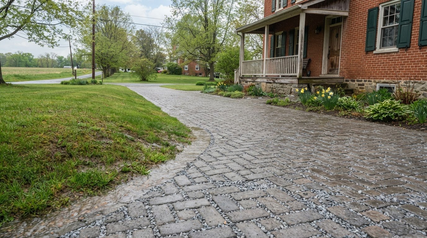
For outdoor pathway design in Lancaster, PA, choose a material based on how the route will be used and maintained. Concrete creates a continuous walking surface; gravel has a looser, natural character. Pavers allow individual units to be adjusted if they shift, while natural stone varies in shape and texture. On a shaded garden path, consider how moisture and leaf debris affect traction and upkeep.
How should a pathway be designed for drainage and freeze-thaw conditions in Lancaster, PA?
Good outdoor pathway design in Lancaster, PA directs water away from the walking surface and nearby structures. Before finalizing a path, a professional considers the property’s grade, soil, and existing runoff routes. Trapped water can contribute to movement or surface damage during freeze-thaw cycles. For example, a low area beside an entrance needs a layout that redirects water, rather than relying on the surface material alone.
How do pavers, gravel, concrete, and natural stone compare for pathways?
Concrete provides a continuous surface, while gravel has loose aggregate that may need leveling. Pavers form a modular surface, so individual units can be adjusted if movement occurs. Natural stone offers varied shapes and textures, which can make the walking surface less uniform. Compare each option based on the route’s use, preferred appearance, edge conditions, and the effort needed to keep the finished path even.
What are Lancaster County rules or permits for residential pathways?
Permit requirements depend on the municipality and project. Identify grading or drainage changes and any connection to public land for applicable local review. Don’t assume one countywide rule covers every pathway.